The Takeaway: Learn how stakeholders are using a collaborative planning process to assess their hazard risks, vulnerabilities, and mitigation opportunities.
Overview
This collaborative project assessed vulnerabilities, risks, and mitigation opportunities for multiple hazards—earthquakes, sea level rise, and flooding—for Oakland’s Coliseum area and Alameda’s Bay Farm Island. The project was led by the San Francisco Bay Conservation and Development Commission’s Adapting to Rising Tides (ART) Program. Purposeful collaboration strategies and a diverse work group were a critical part of what made this effort successful.

Lessons Learned
The Adapting to Rising Tides Program distilled these lessons from their experiences:
- Develop stakeholder buy-in and trust. A diverse stakeholder working group helped scope and direct the assessment, creating strong project “ownership.” The group gathered necessary information and provided critical review and input.
- Learn together. One of the most powerful outcomes of the work group was the process of learning from each other and identifying the issues together. The process of working together to understand the vulnerabilities and the relationships between the vulnerabilities made reaching agreement much easier when determining the actions to take to increase resilience.
- Partnerships pay dividends. Early on, key stakeholders asked to make this a multi-hazard project. We had been considering seismic impacts as an existing stressor in other projects, but had not yet fully integrated earthquakes mitigation into our sea level rise adaptation planning efforts. Rather than trying to tackle this on our own, we asked the Association of Bay Area Governments (ABAG) Resilience Program to participate on the earthquake hazard planning for the project area. This kind of deep partnership is difficult to achieve and requires agencies and organizations to move beyond traditional roles. However, the challenge is well worth it and appreciated by stakeholders who need to be resilient to multiple current and future hazards and do not have the capacity to address them one at a time.
- “Make it real” by getting stakeholders in the field. An opportunity to collectively experience the shoreline fostered meaningful conversations about coastal assets and issues. Hearing presentations from partners that either owned or managed an asset or geographic area helped the group better understand the issues, identify relationships among the issues, and begin to see opportunities for shared solutions to protect multiple assets.
The Process
Stakeholders from the Start
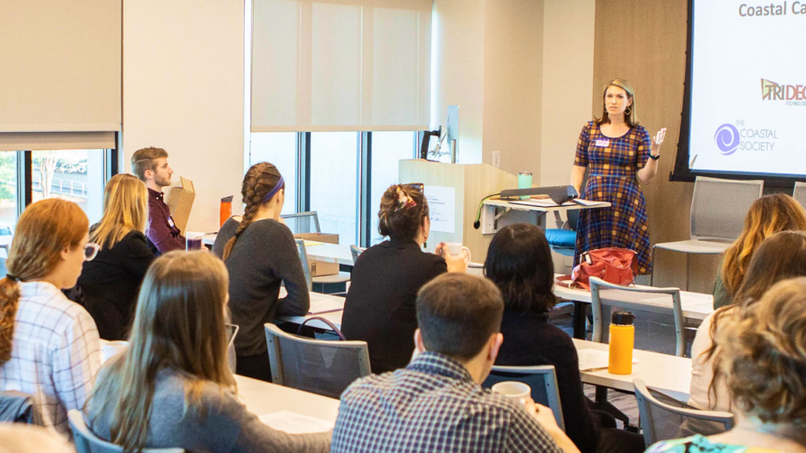
To be successful across jurisdictions, geographies, sectors, and time frames, adaptation and hazard mitigation planning requires active and engaged participants and partners. For a San Francisco project, Lindy Lowe, program manager of the Adapting to Rising Tides (ART) Program for the San Francisco Bay Conservation and Development Commission, and her team developed a collaborative and outcome-oriented adaptation planning process. The process relies on convening and engaging a diverse working group of stakeholders from across the public-private-nonprofit spectrum. Lowe says, “Many of these organizations have not worked together, so the ART approach was developed to emphasize close collaboration and build the trusted relationships that allow both buy-in for the findings and for future action.”
Defining Project Scope and Study Area
The Adapting to Rising Tides Program team developed a preliminary project scope, including the assets and geography to be included and an initial list of working group participants. The working group requested that seismic hazards be added to the scope of the project, along with new members and several adjacent areas. The ART team sought out a partnership with the Association of Bay Area Government’s Resilience Program to add more capacity on the seismic issues, and the two agencies developed a joint work plan. The larger working group, consisting of representatives from local government offices, utility agencies, the Port of Oakland, community members, and government agencies, reviewed the work plan and final study area.
Developing Goals
Once the project was scoped, the working group developed resilience goals. This critical step provided a foundation for further decision-making. Lowe says, “setting resilience goals early builds transparency into the project, sets the foundation for future actions and helps to determine where to focus project resources. Done correctly, the goals should reflect the four frames of sustainability—society, economy, environment and governance.”
Project goals were focused on maintaining neighborhood and airport functions; building resilience in all phases of mitigation, preparedness, response and recovery; preserving environmental quality; and protecting the local and regional economy.
Integrate Hazards and Climate Adaptation Planning
The planning effort included current and future flooding and earthquake risks, and identified efficiencies such as shared data and information. By combining the earthquake and flooding tasks, participants could more easily identify how adaptation and risk mitigation strategies for one hazard could be modified to address another, or how mitigation for one hazard could exacerbate the risk from another. “This work has meant that all of us, agency staff and stakeholders, have had to think and work outside our usual comfort zones, but the potential payoffs in terms risk reduction are huge,” says Lowe.
Maps and Analysis
A “total water level” approach was used to better understand which areas are at risk to current and future flooding. Six water levels (1, 2, 3, 4, 6, and 8 feet), representing a combination of lunar and storm tides and future sea level rise, were used. The “total water level” approach allows people to see what both storm event and sea level rise flooding looks like for their area and begin to plan for near-term intermittent flooding, while identifying options for addressing future flood risk that could include permanent inundation if no actions are taken. Different assets have very different risks from these two types of flooding, and some are able to withstand temporary flooding, while others cannot. For example, a park may be resilient to temporary and intermittent flooding, since the park can likely return to its full function after a short closure and cleanup. On the other hand, the Oakland airport terminals or a senior care facility could be severely impacted by even short-duration flooding. The seismic risks included both ground shaking and liquefaction, and both are high risks for the study area. The mapping that was used to define these areas was from the United States Geologic Survey and the California Geologic Survey.
Asset Questionnaire
The questionnaire used by the project team to identify vulnerabilities, existing conditions, and consequences was also used to identify data and information needs. For example, if there were questions about existing conditions or stressors that could affect vulnerability, the information would be reviewed and revised by asset managers, owners, operators, and other topic area experts.
Make It Real, Get Out in the Field
The project team took two field trips to explore landscape conditions and geographic and functional relationships in the study area. Both trips included a driving tour, brief presentations at key locations, and tabletop planning exercises to help participants see and address the interrelated vulnerabilities in these geographies. Lowe says, “bringing everyone together in the actual locations to experience the challenges facing the communities, infrastructure, habitats and parks helped them understand each other’s concerns and what challenges they face. It also helped start a conversation about how they could work together to address current and future flood risk and seismic risk.”
Outcome
- A vulnerability and risk assessment completed for the study area
- Preliminary adaptation strategies for specific assets and sub-areas of the study area
- Project findings and recommendations included in City of Oakland planning for the coliseum area
- Integration of findings into the Resilient Oakland section of the 100 Resilient Cities Initiative
- Support and assistance to the City of Oakland in developing a local hazard mitigation plan and recovery plan
- Oakland International Airport proposal to reduce current and future flood risk to airport facilities
- Increased capacity and commitment from the members of the working group to address current and future flood risk and seismic risk within their agencies and organizations and to work together on the shared solutions identified in the study area
Next Steps
The working group is focused on implementation with assistance from the project team. The Adapting to Rising Tides and Association of Bay Area Governments staff will also finalize and distribute project reports and materials.
Contributors
- Association of Bay Area Governments
- Alameda County Flood Control and Water Conservation District
- City of Alameda, California
- San Francisco Bay Area Rapid Transit
- Bay Farm Island Homeowners Association
- Bay Trail
- California Department of Transportation, District 4
- California Coastal Conservancy
- Capitol Corridor Passenger Rail
- East Bay Municipal Utilities District
- East Bay Regional Park District
- Federal Emergency Management Agency
- Metropolitan Transportation Commission
- City of Oakland Fire Department Emergency Planning
- City of Oakland, California
- City of Oakland Sustainability
- Pacific Gas and Electric
- Port of Oakland
