Overview
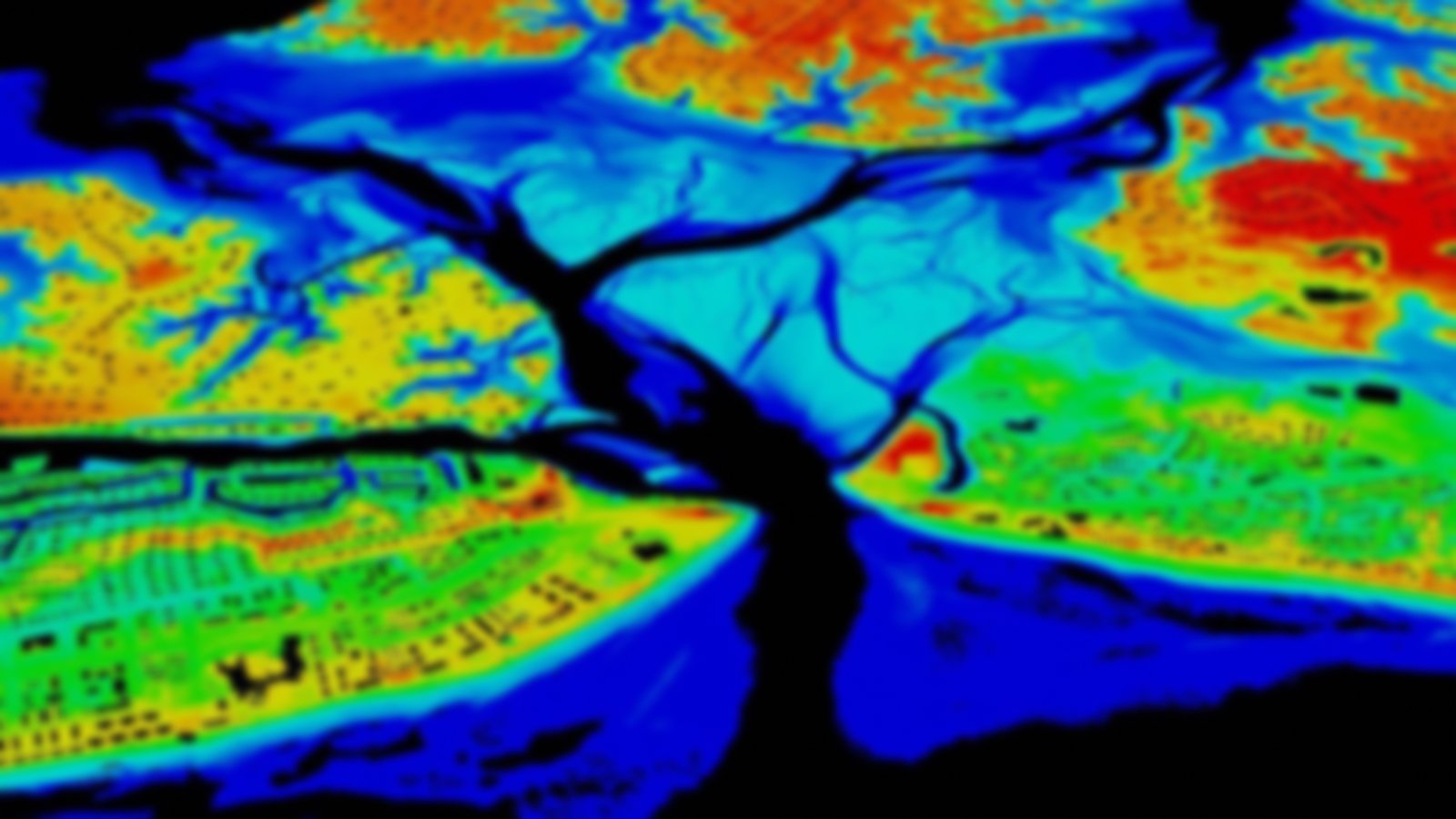
These data illustrate potential flooding from future sea level rise—from current mean higher high water to a six-foot rise. Mapping confidence layers highlight errors related to elevation and water height data. All data are based on the best available elevation data. These data are used in NOAA’s Sea Level Rise Viewer, a screening-level tool. Data and maps provided can be used to gauge trends and prioritize response.
Featured Resources
- Sea Level Rise Viewer — Visualize community-level impacts from coastal flooding or sea level rise
