Overview
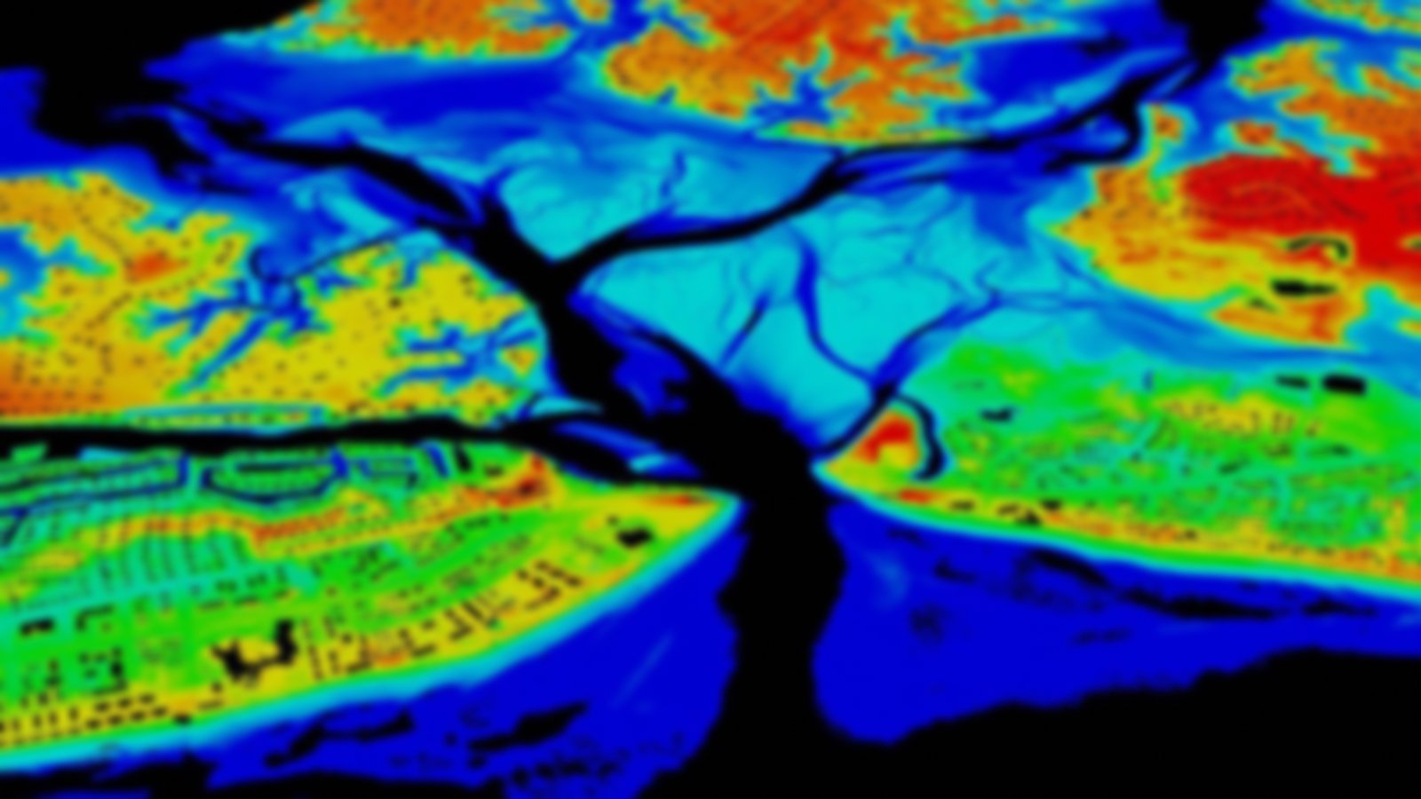
These maps provide a summary of coastal resources that are at risk if an oil spill occurs. This information is helpful for responders and planners looking to identify vulnerable locations, establish protection priorities, and identify cleanup strategies. This collection contains the aggregated Environmental Sensitivity Index (ESI) maps and data, available in a variety of formats.
See availability by region or visit the Environmental Sensitivity Index homepage to learn more.
